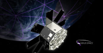
Sidus Space (NASDAQ: SIDU) has announced LunarLizzie™, the company’s newest and most advanced satellite platform engineered for lunar and cislunar missions. This powerful spacecraft is expected to support payloads up […]
LiDAR
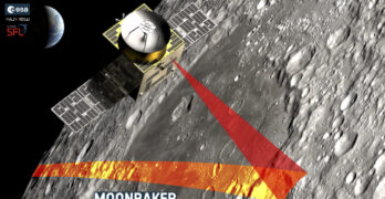
SFL Missions Inc. included on team awarded ESA contract for a Moon mapping study
SFL Missions Inc. is a member of the team led by NUVIEW GmbH that has been contracted by the European Space Agency (ESA) to conduct a Pre-Phase A study, within […]
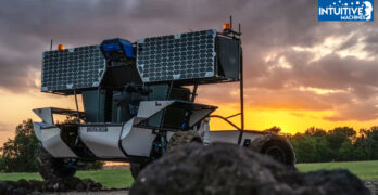
Moon RACER activates self-driving mode for lunar exploration
On a rugged, mock moonscape, the Moon RACER team (Intuitive Machines | Atlas Devices | AVL | Barrios | Boeing | CSIRO | FUGRO | Michelin | Northrop Grumman | […]
Sidus Space + Reflex Aerospace sign MoU for global satellite solutions venture
Sidus Space (NASDAQ: SIDU) has signed a Memorandum of Understanding (MOU) with Reflex Aerospace GmbH during the Space Foundation’s 40th Space Symposium in Colorado Springs, Colorado—this agreement formally establishes the […]
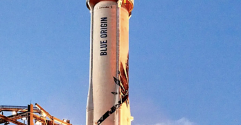
Blue Origin’s New Shepard ready to test NS-27 the newest booster on Monday’s launch
On Monday, October 7th, at 6:00 AM – 1:30 PM PDT, Blue Origin plans the launch of the twenty-seventh flight of New Shepard from West Texas Suborbital Launch Site/ Corn […]
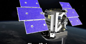
BAE Systems-built CloudSat satellite completes nearly two decades-long mission
The BAE Systems-built CloudSat satellite has officially ended operations after more than 17 years on orbit — CloudSat launched in April 2006 as part of a NASA-led mission to develop […]
EarthCARE satellite set to explore the Earth’s skies
The EarthCARE satellite — developed by Airbus for the European Space Agency (ESA) and the Japan Aerospace Exploration Agency (JAXA) — addresses two of the fundamental challenges that we face […]
Orbital Lasers company formed by SKY Perfect JSAT Corporation to tackle space debris
SKY Perfect JSAT Corporation has established Orbital Lasers Co., Ltd. — this milestone follows the announcement in June of 2020 to design and develop the payload of the world’s first […]
Berg Insight reports — The precision agriculture market to reach € 5.2 billion worldwide in 2027
According to a new research report from the IoT analyst firm Berg Insight, the global market for precision agriculture solutions is forecasted to grow from € 3.1 billion in 2022 […]
TRL Space awarded ESA funding
The European Space Agency (ESA) recently issued the first contract for the Lunar Geology Orbiter (LUGO), under which the international consortium led by Czech company TRL Space, will define the […]


