
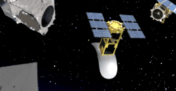
When Albedo was started, the idea of building phone-booth sized satellites that would fly 2x lower than LEO satellites and collect imagery at a resolution previously only possible from drones […]
AiDash
AiDash introduces hazard tree ID using satellite technology + AI for the utility industry
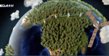
AiDash has produced hazard tree identification capabilities in the company’s Intelligent Vegetation Management System (IVMS) — the innovation, developed and validated in the field with AiDash customers and staff arborists, […]