
On February 25, 2026, the European Commission’s Copernicus Observer released a comprehensive assessment detailing how the integrated EU Space Programme—comprising Galileo, EGNOS, Copernicus, and the upcoming IRIS²—is fundamentally altering the trajectory of civil and commercial aviation.
By transitioning from terrestrial-based navigation to a multi-layered orbital architecture, Europe is addressing the critical industry challenges of congestion, environmental impact, and the rising threat of GNSS spoofing.
Operational Resilience and the OSNMA Milestone
A cornerstone of this transformation is the enhanced security of navigation signals. Since becoming officially operational on July 24, 2025, Galileo’s Open Service Navigation Message Authentication (OSNMA) has provided the aviation sector with a first-of-its-kind cryptographic layer. This “digital signature” allows onboard receivers to verify that incoming signals originate from the Galileo constellation and have not been tampered with by malicious actors. In an era where 100% of long-haul flights to the Asia-Pacific and Middle East regions report encountering GPS interference, OSNMA serves as a vital safeguard for flight safety and situational awareness.
Satellite-Based Augmentation and Landing Precision
The European Geostationary Navigation Overlay Service (EGNOS) continues to serve as the backbone for regional precision approach procedures. As of early 2026, more than 1,000 EGNOS-based approach procedures have been published across European airports. By increasing the accuracy of GNSS signals and providing integrity messages, EGNOS enables aircraft to perform CAT-I precision landings without the need for expensive ground-based Instrument Landing Systems (ILS). This technology is particularly critical for regional airports, allowing them to remain operational during low-visibility conditions while reducing the environmental footprint of missed approaches.
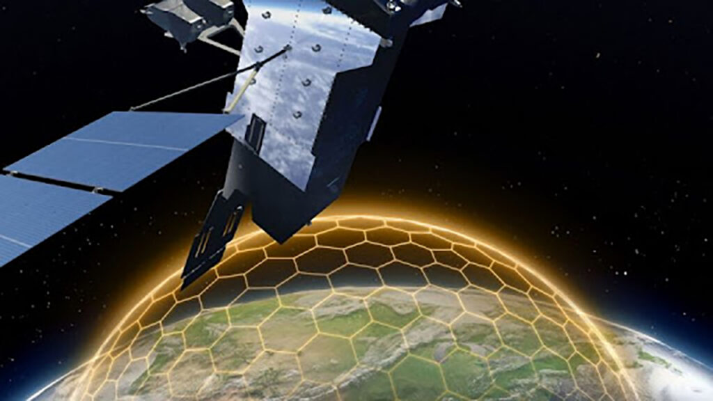
IRIS² and the Future of Secure Connectivity
Looking toward the end of the decade, the IRIS² (Infrastructure for Resilience, Interconnectivity and Security by Satellite) constellation is poised to replace aging tactical links with high-speed, secure broadband. Following the €10.6 billion concession agreement signed with the SpaceRISE consortium, the programme has entered its physical hardware acquisition phase. For aviation, IRIS² will provide the low-latency, multi-orbit connectivity required for real-time flight data streaming and modernized Air Traffic Management (ATM) as part of the Single European Sky (SESAR) initiative.
Sovereign Infrastructure for Global Competitiveness
The push for integrated space-based aviation services is driven by Europe’s mandate for strategic autonomy. Andrius Kubilius, European Commissioner for Defence and Space, has highlighted that sovereign orbital infrastructure is the only viable defense against dependencies on foreign-controlled systems. By internalizing these capabilities through programs like Galileo and EGNOS, the EU ensures that its aerospace industry remains competitive against vertically integrated commercial entities while maintaining the highest safety standards for the global flying public.
Integration and Service Deployment
While Galileo and EGNOS services are currently operational, the full integration of IRIS²-based aviation services is scheduled to begin initial testing in 2027, with government-level secure services starting in 2030. In the interim, the EU Space Programme Agency (EUSPA) and ESA are focused on the industrialization of “Ground-Truth” data from Copernicus to aid in more efficient flight path planning, which could reduce aviation fuel consumption by up to 10% through more precise atmospheric and weather monitoring.