HELSINKI, Finland — On Monday, January 19, 2026, ICEYE, a global leader in Synthetic Aperture Radar (SAR) satellite operations, announced a significant expansion of its cooperation with the Ministry of Defence of Ukraine.
The new agreement ensures that the Ministry will receive an increased volume of high-resolution satellite imagery from ICEYE’s SAR constellation to bolster tactical situational awareness and national security.
Scaling Tactical Situational Awareness
The partnership builds on ICEYE’s continuous support for Ukraine initiated in 2022, which first granted the government full access to a dedicated satellite through the Serhiy Prytula Charity Foundation. The expanded agreement allows the Ukrainian Armed Forces to utilize space-based intelligence as a tactical tool, reducing uncertainty during time-sensitive operational timelines. This follows a previous November 2024 contract between Rheinmetall and Ukraine, supported by the German government, which also integrated ICEYE’s SAR data into the nation’s defense framework.
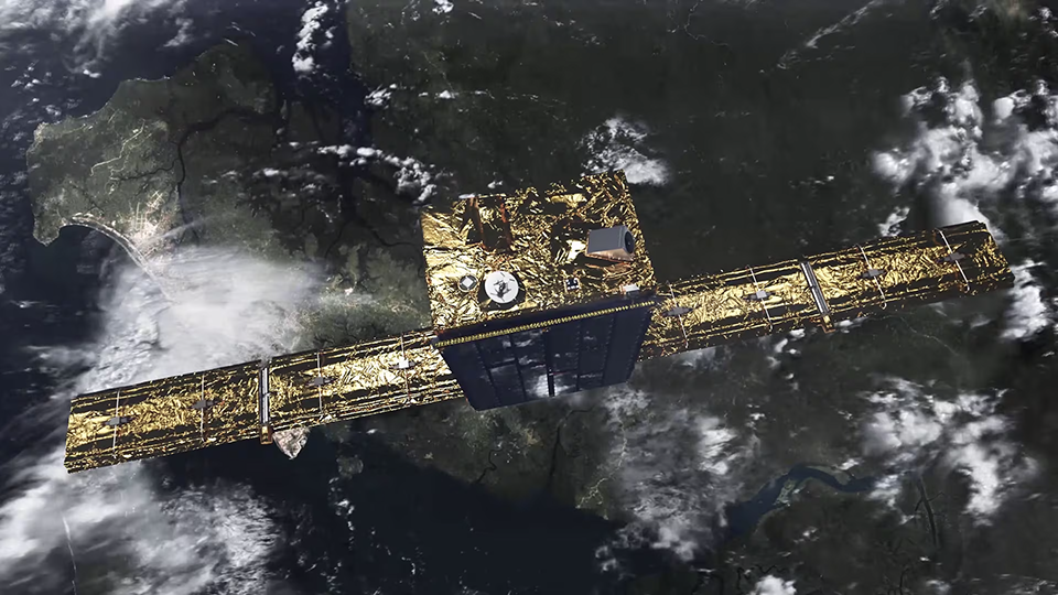
High-Resolution Capabilities of the Gen4 Constellation
The agreement leverages ICEYE’s Generation 4 (Gen4) satellite technology, which was officially introduced and expanded in late 2025. These Gen4 assets provide the highest fidelity commercial SAR imagery available, featuring:
- Ground Resolution: Up to 16 cm.
- Footprint Modes: Scan Wide capabilities covering areas of 200 km by 300 km.
- Efficient Targeting: Electronic beam-steering technology that enables the capture of dozens of high-resolution scenes within minutes of imaging time.
Persistent Monitoring Across All-Weather Conditions
SAR technology provides a distinct advantage over optical sensors by utilizing radar pulses instead of sunlight. This allows ICEYE to penetrate nighttime, cloud cover, and smoke—environmental factors that frequently obstruct traditional imaging in the Ukrainian theater. By providing persistent monitoring, the constellation ensures that tactical decision-makers have access to reliable data regardless of the time of day or atmospheric conditions.
“Today’s operational environment makes one thing clear: space is no longer only a strategic domain, it is a tactical layer of defense,” said John Cartwright, Senior VP of Data Product at ICEYE. “This agreement strengthens assured access to our high-resolution SAR imagery, helping Ukraine make decisions faster and with greater confidence. ICEYE stands firmly with Ukraine in the face of these hostilities, and is deeply committed to strengthening Europe’s security more widely by ensuring our allies have the best decision-ready data when they need it most.”
Strengthening Allied Security Architectures
The expansion of this partnership reinforces a broader trend of sovereign satellite missions supported by ICEYE technology. Beyond Ukraine, the company has recently secured agreements to deliver sovereign intelligence capabilities to the Swedish Armed Forces and the Finnish Defence Forces. Moving forward, ICEYE intends to continue scaling the world’s largest SAR constellation to meet the global demand for persistent, actionable Earth Observation data.