
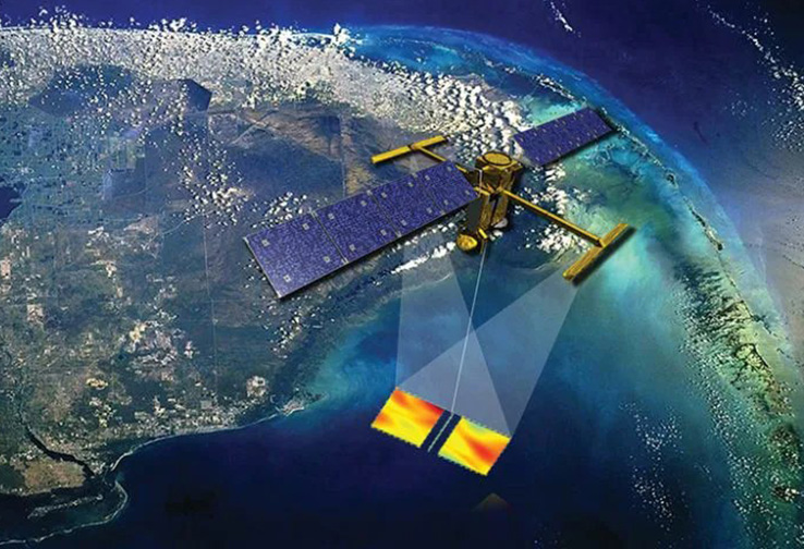
In a first-of-its-kind observation, the Surface Water and Ocean Topography (SWOT) satellite—a joint mission between NASA and the French space agency CNES—captured high-resolution data of a tsunami that behaved in a way that challenged existing scientific models.
Data from the SWOT satellite revealed that the tsunami waves following the Kamchatka earthquake were trapped along the continental shelf, a phenomenon known as “edge waves” that lasted for hours.
Following a magnitude 7.0 earthquake off the coast of Russia’s Kamchatka Peninsula in late 2025, SWOT was able to “spot” the resulting tsunami wave as it rippled across the Pacific.
The “Edge Wave” Phenomenon
Typically, tsunamis are modeled as waves that radiate outward across the deep ocean. However, SWOT’s advanced Karin (Ka-band Radar Interferometer) instrument revealed that a significant portion of the tsunami’s energy became “trapped” along the continental shelf.
- Persistence: These “edge waves” traveled back and forth along the coastline for several hours after the initial surge, maintaining a height of approximately 10 to 15 centimeters.
- Resolution: Traditional satellite altimeters, which measure sea level in a single line directly beneath the spacecraft, often miss these small but dangerous coastal variations. SWOT provides a 50-kilometer-wide swath of data, allowing scientists to see the full shape and movement of the wave for the first time.
Practical Applications for Disaster Response
The ability to observe these “hidden” wave patterns has profound implications for coastal safety and early warning systems. “We’ve known about edge waves theoretically, but seeing them with this level of detail changes how we calculate the long-term risk to coastal infrastructure following a major quake,” said Nadege Dabrowski, a SWOT project scientist.
The data suggests that the risk of flooding or dangerous currents can persist much longer than previously anticipated, as the energy continues to bounce along the shelf rather than dissipating into the deep sea.
Strategic Context: High-Resolution Altimetry
Launched in December 2022, SWOT is designed to survey nearly all of Earth’s surface water, from the open ocean to lakes and rivers as small as 100 meters across. This recent observation validates the mission’s “new space” approach to Earth observation, moving from 1D “tracks” to 2D “maps” of water height.
As sea levels rise and extreme weather events become more frequent, the SWOT mission—supported by partners like the Canadian Space Agency (CSA) and the UK Space Agency—is becoming a critical tool for global climate resilience.