• Skip to primary navigation
  • Skip to main content
  • Skip to primary sidebar
  • Skip to secondary sidebar
  • NEWS:
  • SatNews
  • SatMagazine
  • MilSatMagazine
  • SmallSat News
  • |     EVENTS:
  • SmallSat Symposium
  • Satellite Innovation
  • MilSat Symposium
  • SmallSat Europe

SatNews

  • LATEST
  • EXPLORE ⌄
    • Missions & Constellations
    • Business & Finance
    • Military & Defense
    • Launch
    • Software Automation & Ground Systems
    • Government & Regulation
    • Services & Applications
  • Magazines
  • Events
  • Calendar ⌄
    • IN PERSON
    • VIRTUAL
  • Subscribe

UP42 + Maxar partner to broaden global access to advanced commercial geospatial intelligence

April 30, 2025

UP42 has partnered with Maxar to make that company’s very high-resolution satellite imagery and tasking products available in the UP42 platform, broadening global access to the most advanced commercial geospatial intelligence.

Artistic rendition of a Maxar Worldview Legion satellite on-orbit, courtesy of the company.

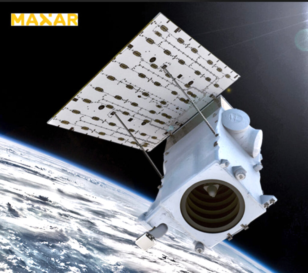
UP42 customers can now directly task Maxar’s very high-resolution constellation, including its WorldView Legion satellites. With Maxar’s constellation able to revisit some Earth locations up to 15 times per day, UP42 customers will be able to access this advanced geospatial intelligence in near real-time. Soon, customers will also be able to order 30 cm-class and 50 cm-class imagery from Maxar’s archive, which can be combined with advanced AI and machine learning technologies to analyze patterns of life.

UP42’s streamlined satellite tasking interface unlocks multi-AOI uploads, instant price estimates, and order tracking. This enables customers across civil government and a wide range of commercial industries—including oil, gas, mining and energy—to tackle some of their biggest real-world challenges, from infrastructure monitoring to environmental compliance.

Customers can now task Maxar’s very high-resolution multispectral and panchromatic imagery on the UP42 platform in both mono and stereo formats.

Maxar’s integration marks a major milestone for UP42, providing our customers with greater flexibility, scale, and precision,” said Jussi Koski, CPO at UP42. “The ability to directly task Maxar satellites, along with upcoming archive access, makes UP42 a comprehensive source for leading geospatial data.”

UP42 is a mission-critical partner for civil and commercial customers around the world, and by joining Maxar’s Partner Ecosystem, UP42 can give those customers access to more advanced geospatial intelligence that helps them act and decide with more confidence,” said Anders Linder, SVP and General Manager of Maxar Intelligence’s International Government business.

Filed Under: Earth Observation & Imaging, ISR & Reconnaissance

Primary Sidebar

Coverage

  • Missions & Constellations
  • Business & Finance
  • Military & Defense
  • Launch
  • Software Automation & Ground Systems
  • Government & Regulation
  • Services & Applications

Most Read Stories

  • When AWS Grew Wings: The "Boring" Genius of Amazon Leo
  • L3Harris Consolidates into Three Segments; Creates Dedicated Space & Mission Systems Unit
  • SES to receive “billions” from FCC
  • As SpaceX Targets 50,000 Starlink Satellites, China Files for 200,000-Unit Mega-Constellation
  • MDA Adds 340 Vendors to $151 Billion SHIELD Enterprise in Third Major Tranche

About Satnews

  • Contacts
  • History

Archives

Secondary Sidebar

We use cookies to ensure that we give you the best experience on our website. If you continue to use this site we will assume that you are happy with it.
x
Sign up Now (For Free)
Access daily or weekly satellite news updates covering all aspects of the commercial and military satellite industry.
Invalid email address
Notify Me Regarding ( At least one ):
We value your privacy and will not sell or share your email or other information with any other company. You may also unsubscribe at anytime.

Click Here to see our full privacy policy.
Thanks for subscribing!