

Credits: NASA/Dave Ryan
NASA and the Italian Space Agency made history on March 3rd when the Lunar GNSS Receiver Experiment (LuGRE) became the first technology demonstration to acquire and track Earth-based navigation signals on the Moon’s surface.
The LuGRE payload’s success in lunar orbit and on the surface indicates that signals from the GNSS (Global Navigation Satellite System) can be received and tracked at the Moon. These results mean NASA’s Artemis missions, or other exploration missions, could benefit from these signals to accurately and autonomously determine their position, velocity, and time. This represents a steppingstone to advanced navigation systems and services for the Moon and Mars.

“On Earth we can use GNSS signals to navigate in everything from smartphones to airplanes,” said Kevin Coggins, deputy associate administrator for NASA’s SCaN (Space Communications and Navigation) Program.
“Now, LuGRE shows us that we can successfully acquire and track GNSS signals at the Moon. This is a very exciting discovery for lunar navigation, and we hope to leverage this capability for future missions.”
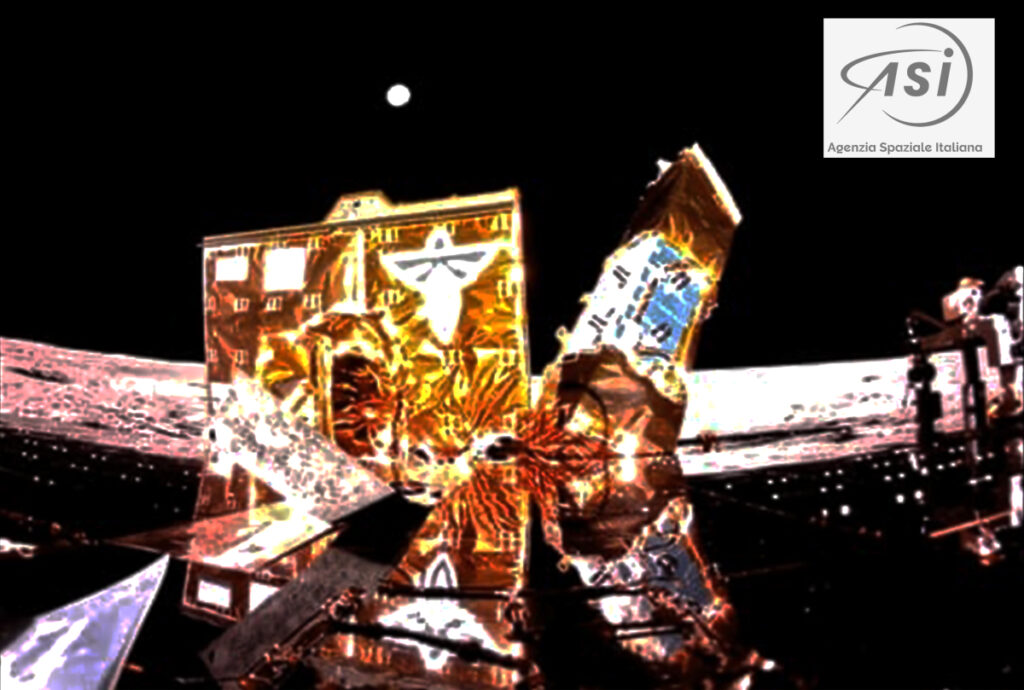
The road to the historic milestone began on March 2 when the Firefly Aerospace’s Blue Ghost lunar lander touched down on the Moon and delivered LuGRE, one of 10 NASA payloads intended to advance lunar science. Soon after landing, LuGRE payload operators at NASA’s Goddard Space Flight Center in Greenbelt, Maryland, began conducting their first science operation on the lunar surface.
With the receiver data flowing in, anticipation mounted. Could a Moon-based mission acquire and track signals from two GNSS constellations, GPS and Galileo, and use those signals for navigation on the lunar surface?
Then, at 2 a.m. EST on March 3, it was official: LuGRE acquired and tracked signals on the lunar surface for the first time ever and achieved a navigation fix — approximately 225,000 miles away from Earth.

Now that Blue Ghost is on the Moon, the mission will operate for 14 days providing NASA and the Italian Space Agency the opportunity to collect data in a near-continuous mode, leading to additional GNSS milestones. In addition to this record-setting achievement, LuGRE is the first Italian Space Agency developed hardware on the Moon, a milestone for the organization.
The LuGRE payload also broke GNSS records on its journey to the Moon. On January 21, LuGRE surpassed the highest altitude GNSS signal acquisition ever recorded at 209,900 miles from Earth, a record formerly held by NASA’s Magnetospheric Multiscale Mission. Its altitude record continued to climb as LuGRE reached lunar orbit on Feb. 20 — 243,000 miles from Earth. This means that missions in cislunar space, the area of space between Earth and the Moon, could also rely on GNSS signals for navigation fixes.
Traditionally, NASA engineers track spacecraft by using a combination of measurements, including onboard sensors and signals from Earth-based tracking stations. The LuGRE payload demonstrates that using GNSS signals for navigation can reduce reliance on human operators because these signals can be picked up and used autonomously by the spacecraft, even as far away as the Moon.
The LuGRE payload is a collaborative effort between NASA’s Goddard Space Flight Center in Greenbelt, Maryland, the Italian Space Agency, their industry partner Qascom, and Politecnico di Torino. Funding and oversight for the LuGRE payload comes from NASA’s SCaN Program office. It was chosen by NASA as one of 10 funded research and technology demonstrations for delivery to the lunar surface by Firefly Aerospace Inc., a flight under the agency’s Commercial Lunar Payload Services initiative.
Article author: Katherine Schauer, NASA