
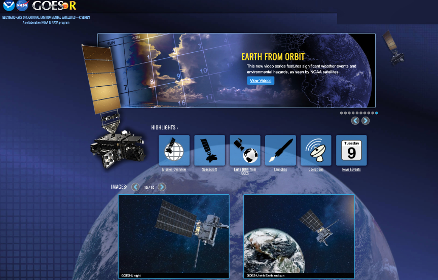
The Department of Commerce’s National Oceanic and Atmospheric Administration (NOAA) has signed an agreement with the Department of the Interior and U.S. Department of Agriculture (USDA)’s Forest Service to use the NOAA Geostationary Operational Environmental Satellite — R series (GOES-R) data to rapidly detect and report wildfire starts.

Supported by a $20 million investment from the recently signed Bipartisan Infrastructure Law—$10 million each from Interior and Agriculture— this new agreement will use advanced remote sensing capabilities to improve the speed and accuracy of wildfire detection.
Through the recently signed Infrastructure Law, much-needed assistance to communities across the country will be given through the deployment of innovative tools to tackle wildfires and increasing the resilience of lands facing the threat of wildland fires with better support for federal wildland firefighters. The law includes $5 billion for these Departments over five years to invest in preparedness, fuels management, post-fire restoration, and fire science.
Use of NOAA’s GOES-R satellite data will enable the Interior and Agriculture Departments to detect wildfires early, provide firefighters a more detailed look at wildfire conditions, allow faster hot spot detection, and provide the ability to track wildfire progression in real time. GOES-R series satellites are frequently capable of detecting wildfires before they are spotted on the ground or reported to 911. The satellites can also be used to pinpoint the exact location of a fire after smoke reports occur. These improved capabilities will support interagency efforts to protect people and communities from increasingly devastating wildfires.
GOES-R satellite observations are valuable for detecting wildfires as well as critical for observing and monitoring smoke from those fires. The ability to monitor smoke plumes in near real time is particularly useful in directing firefighting efforts from the air.
Deploying airplanes and helicopters for wildfire suppression efforts is often hampered by poor visibility. GOES-R satellites can help guide decisions for deploying flights by providing information on the exact location and drift of smoke from a fire. The smoke detection and monitoring information also enable better air quality forecasts to help safeguard public health. These improvements help equip communities with the information they need to assess risks and develop climate solutions—a key objective of the National Climate Resilience Framework.
This effort supports recommendations by the Wildland Fire Mitigation and Management Commission, which was established through the Bipartisan Infrastructure Law and charged with making recommendations to improve federal policies related to the mitigation, suppression, and management of wildland fires in the United States. In September 2023, the Commission released a comprehensive report to Congress outlining 148 recommendations to improve the nation’s relationship with wildfire. This collaboration advances recommendations for expanded use of wildfire detection systems and improved collaboration across organizations and jurisdictions.