
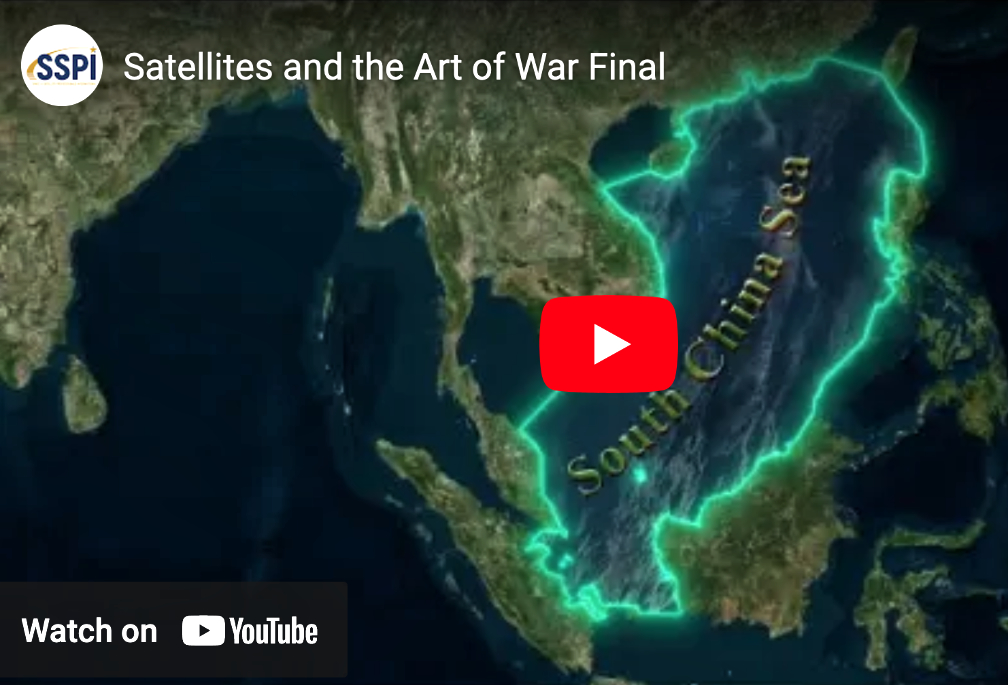
Space & Satellite Professionals International (SSPI) have released Satellites and the Art of War, the organization’s newest video in the Better Satellite World (BSW) campaign. The video explores how satellite data analysis revealed the hidden role of a maritime militia in China’s efforts to dominate the South China Sea. The Satellites and the Art of War video is made possible by funding from Ursa Space Systems.
The South China Sea is a triangle of ocean bordered by Vietnam, the Philippines, Taiwan, Indonesia and China. In 1988, strange things started happening. China’s navy fired on three Vietnamese vessels, sinking them and killing 74 sailors. The dispute was over China’s claim to a group of mostly uninhabited islands far beyond its territorial waters. But in China’s view, the entire South China Sea was its exclusive property. It made that clear in another battle with a Philippine navy gunboat. Then everything went quiet, until years later, China began building forts and airfields on island reefs scattered across the sea.
Sun Tzu, born 2500 years ago, is famous for writing a short book called The Art of War. It teaches that wars can be won without fighting battles. They can be won by taking possession of small islands, and showing you are willing to fight for them without doing much fighting at all. China’s maritime militia is made up of hundreds of fishing boats that have surged out of harbors to surround disputed islands and menace U.S. Navy warships. They claim to be patriotic captains defending their nation’s rightful claims to the whole South China Sea.

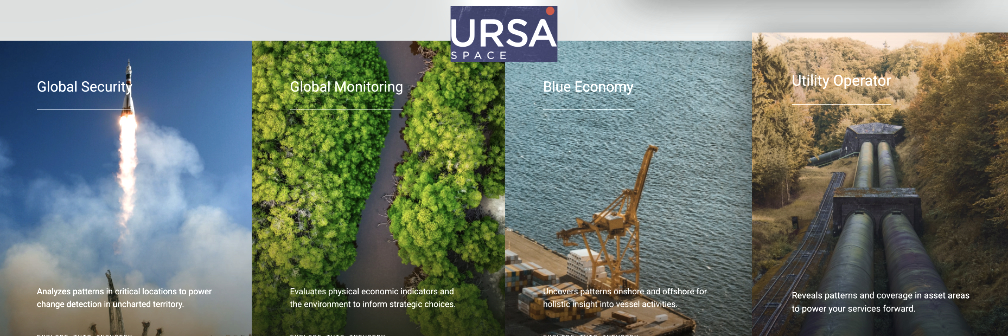
But are they? A company called Ursa Space wanted to find out. Ursa builds data systems that automatically analyze radar images captured by satellite. By automating the process, Ursa can analyze thousands of images taken over months and years, and that specialty was a perfect match for the problem. The Ursa Space Analysis revealed an invisible navy of more than 150 fishing boats in ports across China’s southwest coast.
“The automation of data analysis by companies like Ursa Space Systems is elevating the impact of earth observation in remarkable ways,” said executive director and video producer, Robert Bell. “Not long ago, only government experts could interpret images from orbit. Automation is making the capability available to NGOs working to reveal what some governments would prefer to keep hidden.”
You can watch the video on SSPI’s website and on YouTube.