
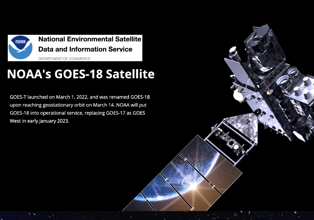
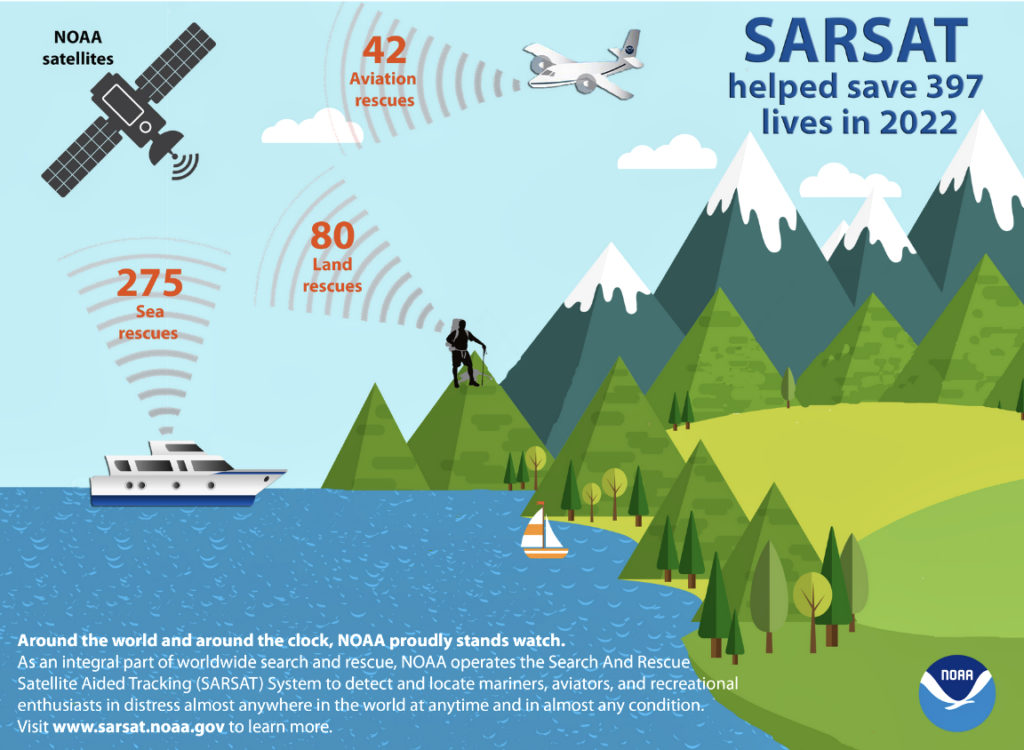
NOAA satellites, which are crucial in weather and climate forecasts, helped to rescue 397 people from potentially life-threatening situations throughout the U.S. and its surrounding waters in 2022.
NOAA’s polar-orbiting and geostationary satellites are part of the global Search and Rescue Satellite Aided Tracking system, or COSPAS-SARSAT, which uses a network of U.S. and international spacecraft to detect and locate distress signals sent from emergency beacons from aircraft, boats and handheld Personal Locator Beacons (PLBs) anywhere in the world.
Of the 397 U.S. rescues last year, 275 were water rescues, 42 were from downed aircraft and 80 were on land involving PLBs. Florida had the most SARSAT rescues with 106, followed by Alaska with 56 and Utah with 20.
Since its start in 1982, COSPAS-SARSAT has been credited with supporting more than 50,000 rescues worldwide, including more than 10,100 in the U.S. and its surrounding waters.
When a NOAA satellite pinpoints the location of a distress signal in the U.S., the information is relayed to the SARSAT Mission Control Center at NOAA’s Satellite Operations Facility in Suitland, Maryland. From there, the information is sent quickly to Rescue Coordination Centers, operated either by the U.S. Air Force for land rescues, or the U.S. Coast Guard for water rescues. NOAA also supports rescues globally by relaying distress signal information to international SARSAT partners.
Here’s a look at three of the most notable events from 2022:
- On June 10, a group of 17 hikers were hoisted to safety after they were stranded on a ridge in Sandthrax Canyon, Utah. The Air Force Rescue Coordination Center received the alert from a PLB and notified the Garfield County Sheriff’s Office, which launched a Utah Department of Public Safety helicopter to the coordinates where the distressed hikers were located.
- On November 20, seven people were rescued from a commercial plane after it was forced to land on a frozen lake near Bethel, Alaska, as a result of engine failure. The Alaska Rescue Coordination Center, which obtained the coordinates of the downed plane, alerted another aircraft company, which made the rescue.
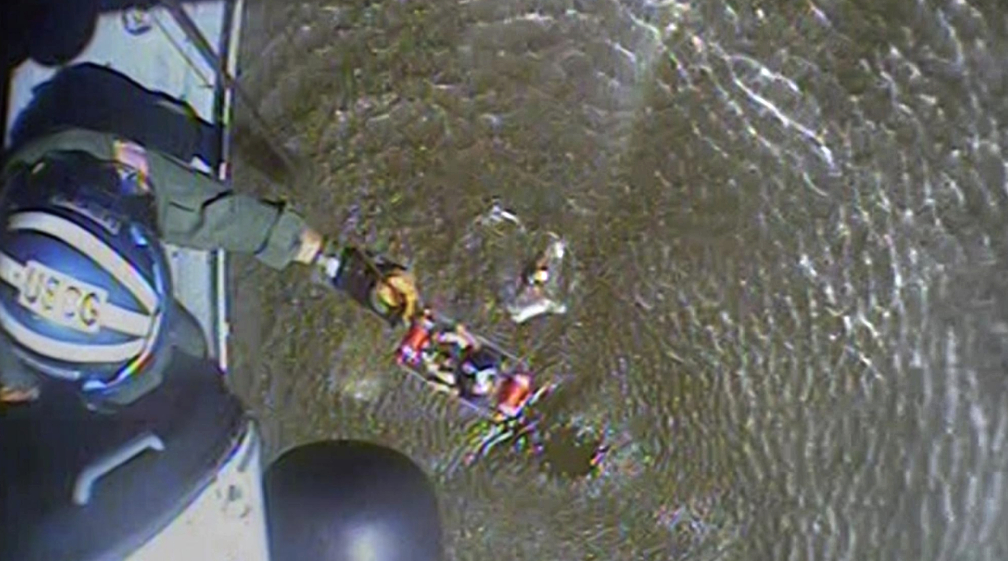
- On August 5, a U.S. Coast Guard helicopter pulled a sailor to safety from his capsized boat off the coast of New Smyrna Beach, Florida. The sailor grabbed the life raft and activated his beacon before his boat sank.
By law, beacon owners are required to register their devices online with NOAA. Registration information helps provide better and faster assistance to people in distress, reduces false alarms and may also indicate what type of help is needed.
“The value of NOAA satellites goes well beyond forecasting,” said Steve Volz, Ph.D., assistant administrator for NOAA’s Satellite and Information Service. “The life-saving ability of SARSAT is a credit to the teamwork with the U.S. Coast Guard, the U.S. Air Force NASA and our international partners. In keeping with its mission, the SARSAT Program truly takes the ‘search’ out of search and rescue.”