

Dabeeo, a South Korean geospatial information technology company based on artificial intelligence (AI) and Maxar Technology have partnered to enable Dabeeo to expand its domestic and international Earth Observation service business. Maxar is a space technology and intelligence company.
The satellite data analysis market is expanding rapidly as space industry technologies advance. As a result Dabeeo is widening the applications of its technologies in the market, such as urban change detection and forest monitoring.
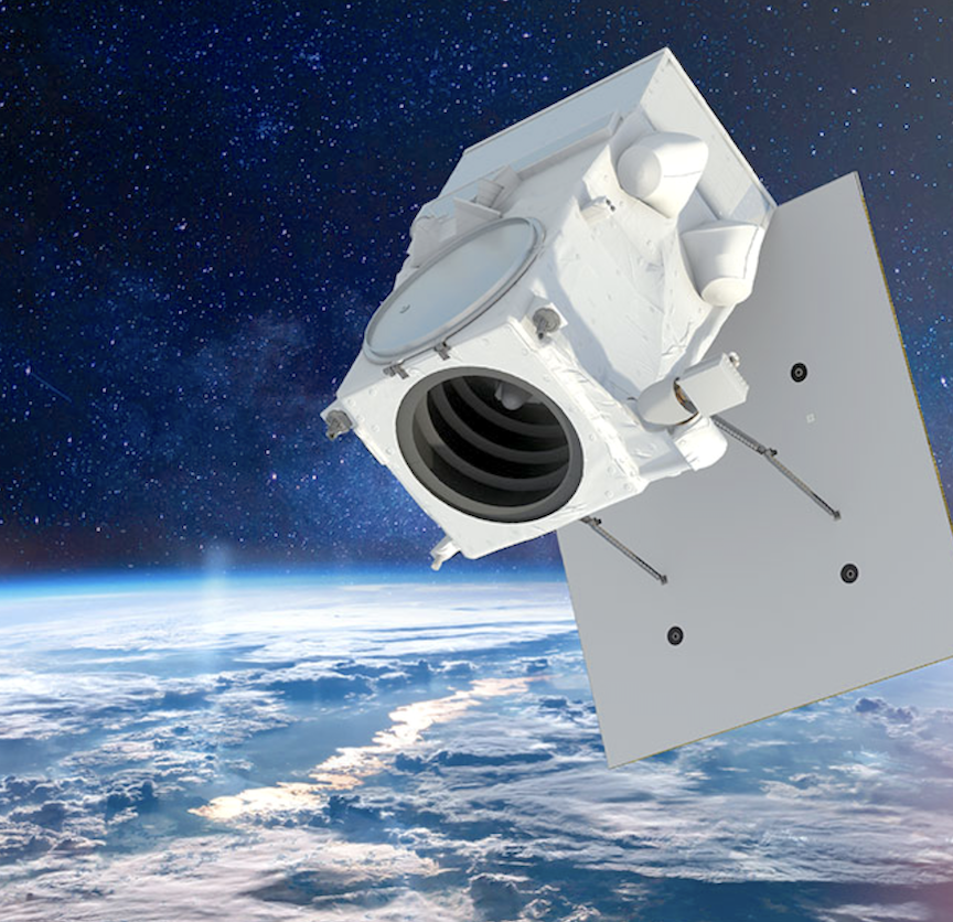
Maxar image
Based on the partnership, Dabeeo will cooperate with Maxar in various areas, including selling Maxar’s satellite images. Maxar provides a vast array of high-resolution data in the global satellite image service market. This partnership enables Dabeeo to provide more flexibly technical collaboration and satellite image data.
“Through the partnership with Maxar, we have secured a framework for the expansion of our business areas,” said Dabeeo CEO Park Ju-hum. “With Dabeeo’s advanced technologies and flexible supply of Maxar’s image data, Dabeeo will gain the ground for the geo-intelligence (GeoInt.) business.”
Dabeeo’s mission is to provide artificial intelligence technologies to reduce repetitive and exhausting operations that have been performed by humans and assist in efficient operation processing and fast decision-making. The company has completed building change detection projects in large cities and ecosystem monitoring in national parks across Korea. Dabeeo is also conducting studies in the field of REDD+ (Reducing Emissions from Deforestation and Forest Degradation Plus) in order to contribute to Carbon Zero.
For more information on Dabeeo’s AI technology can be found at https://www.dabeeo.com.