
ConstellR and ScanWorld are set to combine their respective thermal infrared and hyperspectral imagery expertise to deliver high-value, Earth Observation (EO) data to enable a wide range of sustainable agricultural applications.
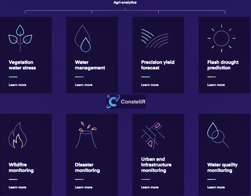
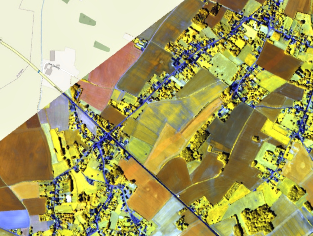
ConstellR is pioneering the use of thermal infrared imagery for high-precision agriculture, crop health monitoring and sustainable resource management. Using surface temperature as the key indicator, this data uses evapotranspiration as a fundamental measure of crop water need; critical for irrigation and yield monitoring. Critically, this data allows farmers to mitigate potential crop losses long before irreversible damage occurs.
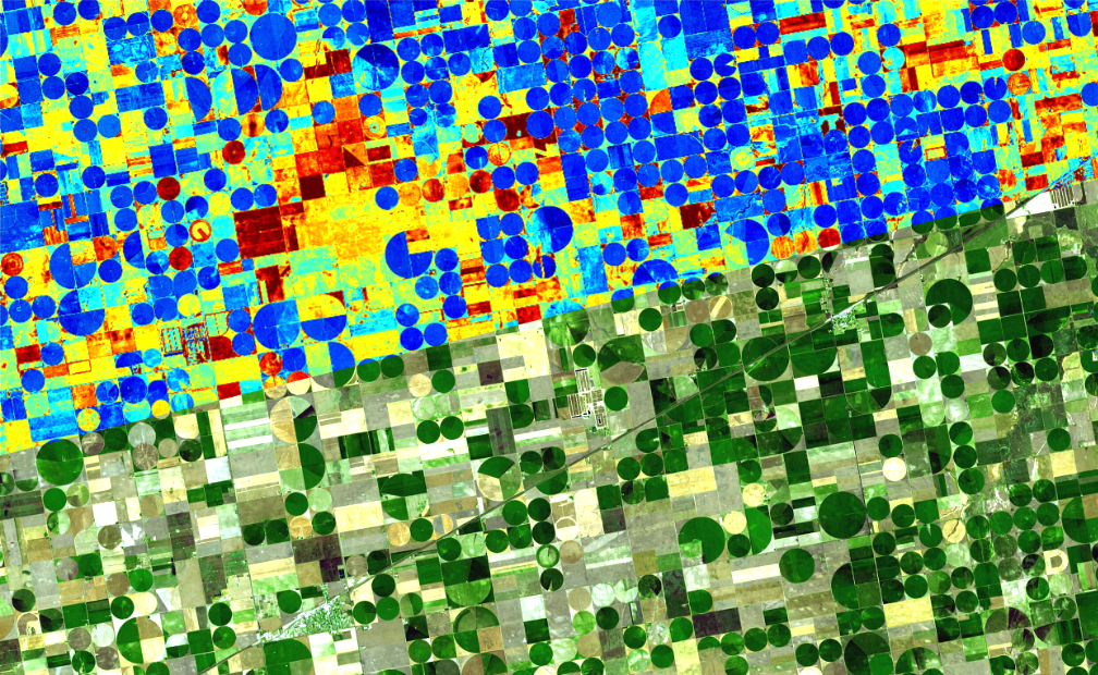
ScanWorld is leveraging hyperspectral imaging to collect data from across the electromagnetic spectrum. This technique allows the detection of very small changes in plant physiology, allowing measurement of proteins and identification of diseases to support worldwide agriculture and forestry management.
The synergy between these two essential EO data sources helps to deliver new, actionable insights and encourages a more efficient use of resources and increased sustainability in the sector.
The MoU between ConstellR and ScanWorld will include work on the harmonization and interoperability of data products, development of joint data products and services as well as the potential for entering into joint commercial projects. The partnership also ensures future interoperability with existing programs.
“This partnership increases our value with large institutional missions, such as the Copernicus program in Europe or the Surface Biology and Geology System at NASA in the United States,” said Max Gulde, CEO of ConstellR. “This [partnership] will enable us to deliver an even better service to our customers in agriculture and beyond. In fact, I believe that what we are building here will be a game changer for all ESG related monitoring activities and enable a global quantification of key metrics with unprecedented accuracy, precision, and timeliness.”
“We both benefit from a world-class techno-scientific background,” said Guerric de Crombrugghe, ScanWorld General Manager. “This drives us towards high-quality products, which is a key requirement when it comes to delivering operational services. This is crucial in agriculture – the harvest depends on it – but in other sectors too. Combined with affordability, this is a real game-changer.”
ConstellR is a space data and services company leading the way in delivering daily, global land surface temperature data for the agri-tech industry. ConstellR provides the fundamental global data for smart crop monitoring, identifying changes in crop health days to weeks before they become visible and enabling farmers to react early to and mitigate for potential crop risks and losses. This advanced warning means the risk of crop failure or damage is significantly reduced, allowing more accurate crop yield forecasting and thus better stability and management across supply chains.
ScanWorld delivers products based on Earth Observation data to support regenerative agriculture and forestry worldwide. In parallel, they are also developing an infrastructure to deliver affordable, hassle-free and easily accessible hyperspectral imagery and analytics. This notably includes a constellation of hyperspectral satellites; the first launch being planned for mid-2024. Hyperspectral data is a key tool to measure proteins, metabolizable energy, water, identify diseases, etc. – all of which are essential for the future of agriculture.