
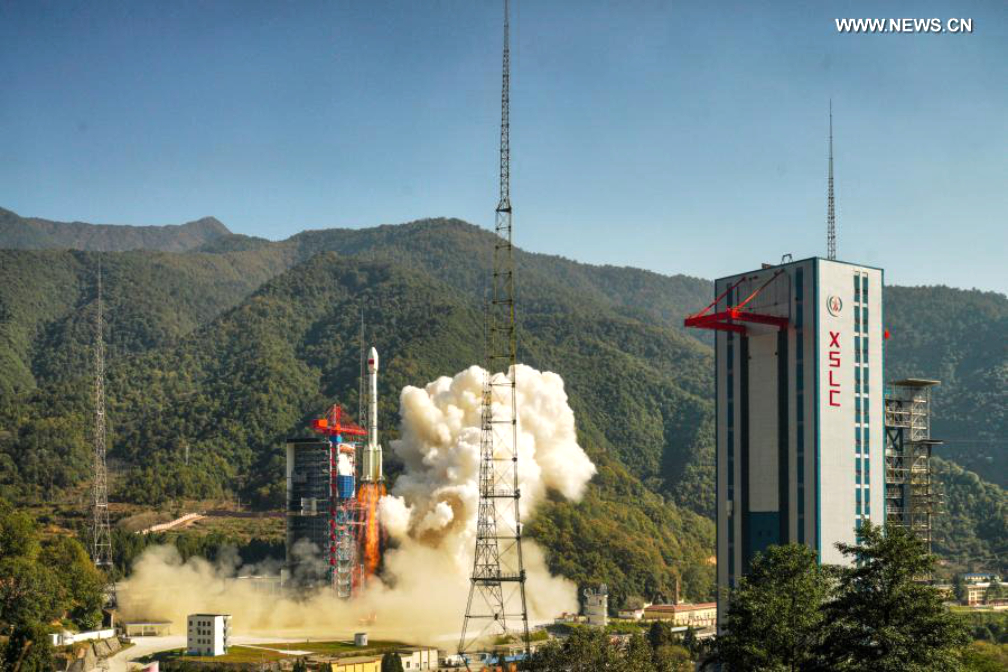
On Sunday, December 6, China successfully launched a new Earth Observation (EO) satellite that can capture high-resolution pictures of ground objects across the globe.
The satellite was launched from the Xichang Satellite Launch Centre in southwest China’s Sichuan province, state-run Xinhua news agency reported.
The satellite, Gaofen-14, was sent into orbit by a Long March-3B carrier rocket. Geofen-14 is an optical stereo mapping satellite and can efficiently obtain high precision stereo images, draw large scale digital topographic map, produce digital elevation models, digital surface models and digital orthophoto images as well as provide basic geographic information, the report said.