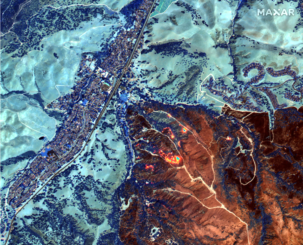
Maxar Technologies (NYSE:MAXR) (TSX:MAXR) has signed a multi-million dollar contract extension with Esri, a trusted partner and innovator in Earth Intelligence and Space Infrastructure, to continue licensing data for the ArcGIS Living Atlas of the World through 2023.
This expanded agreement ensures access to Maxar imagery by the millions of ArcGIS users worldwide and also provides expanded rights to empower the growing community of Esri developers focused on commercial location-based applications to integrate Maxar imagery products for the first time.

Esri recently named Maxar a 2020 Cornerstone Partner, marking a 20-year partnership of dedication to the geographic information systems (GIS) community. Maxar continues to be Esri’s foundation imagery provider, supplying high-resolution satellite imagery for the Living Atlas of the World, a collection of geographic information layers and data sets for the world, including maps, apps and data layers and population statistics of all types. These Maxar products are available in the Living Atlas:
Vivid and Metro are the highest resolution, most accurate and visually consistent global imagery basemaps made from Maxar satellite imagery available on the market. NaturalVue® 2.0is an image mosaic that combines more than 60,000 Landsat 8 images to create a seamless, virtually cloud-free, 15-meter basemap that reflects the Earth’s true colors. National Urban Change Indicator (NUCI) is a commercial urban change detection product that highlights areas of new construction activity by isolating changes that persist over time, derived from more than 13,000 Landsat images.
Executive Comments
“Maxar is exceptionally proud to continue its longstanding partnership with Esri, one of many organizations whose users demand the unrivaled quality of our imagery products,” said Dan Jablonsky, Maxar CEO. “The investments we’re making in our next-generation WorldView Legion satellites ensure that we will be able to continue delivering these imagery products to our customers for many years to come.”

“Esri is excited to leverage the power of Maxar’s commercial imagery as a key component of our global Living Atlas. Their offerings provide our company with exceptional quality, both in resolution and geometric accuracy,” said Jack Dangermond, Esri Founder and President. “While many of our GIS and mapping customers already use Maxar’s multi-band imagery with Esri’s powerful image processing software, this new agreement is a game-changer. It will open up Maxar’s beautiful global imagery to Esri’s rapidly growing community of location-focused app developers, enabling them to leverage Esri’s next generation geospatial APIs to easily integrate Maxar’s imagery into their applications.”
