
AiDash has launched a predictive vegetation management product for utilities that leverages the UP42 Earth Observation (EO) marketplace.
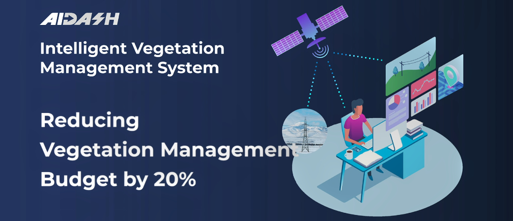
AiDash’s satellite-powered Intelligent Vegetation Management System (IVMS) has already reduced outages and slashed vegetation management costs for a Fortune 500 electric utility.
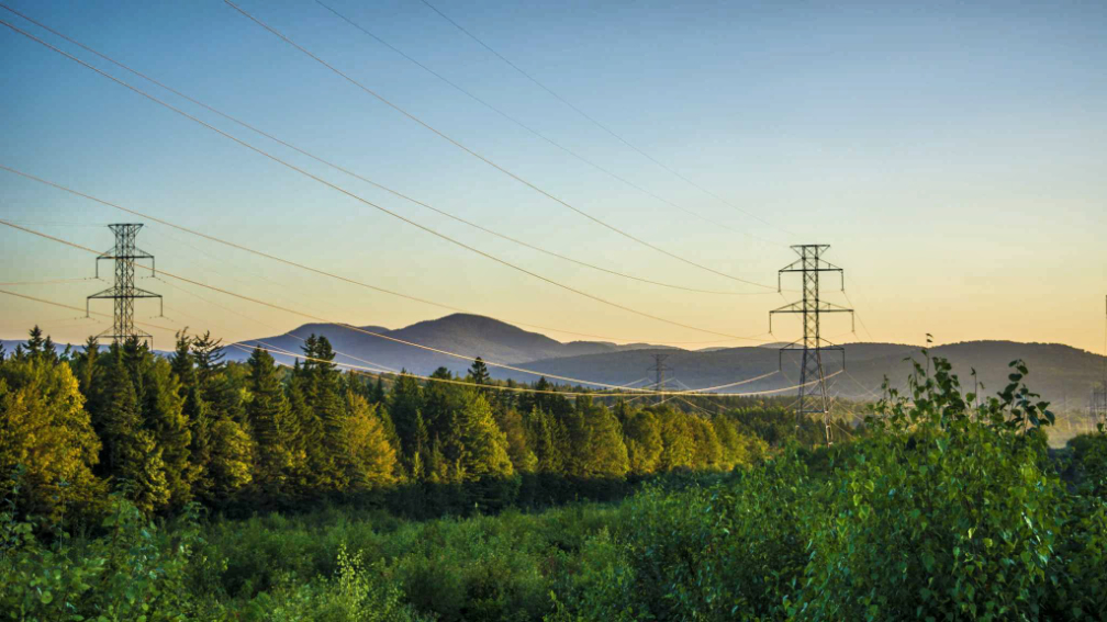
Keeping vegetation trimmed near power distribution lines is an expensive and time-consuming – yet critical – task for electric utilities. Encroachment by bushes and trees can cause wide-spread outages and spark devastating wildfires. Energy utilities worldwide spend billions of dollars each year to continuously monitor vegetation in their powerline corridors from the ground and the sky, often using manned and unmanned aircraft.
The AiDash IVMS solution enables utilities to identify risks and plan vegetation management activities years in advance. AiDash has developed AI algorithms that analyze archived and current optical and synthetic aperture radar (SAR) images captured by satellites to predict vegetation growth rates. This analysis, delivered via a web dashboard and mobile app, allows the utility to focus its trimming operations in high-risk areas.

The AiDash solution relies on the UP42 EO marketplace to provide high-resolution optical satellite imagery from the Airbus Pléiades satellites. AiDash searches and orders archived satellite data and enters tasking orders for new acquisition via the UP42 API-based platform. Requested data sets are streamed directly into the AiDash processing workflow.

While AiDash strictly leverages the EO data on the platform, UP42 makes available all the tools needed to develop geospatial workflows, applications and even commercial products. In addition to satellite, aerial, weather, and AIS maritime data, UP42 gives users direct access to more than 50 advanced geospatial processing algorithms and cloud computing power to create their own geospatial solutions easily and inexpensively.
Executive Comments

“Easy access to satellite data using UP42 formed the backbone of our IVMS solution,” said AiDash CEO Abhishek Vinod Singh. “The archive of historical high-resolution satellite imagery, which is hard to find elsewhere, is readily available from UP42. Tasking new image collections is a simple, straight-forward process, and images are delivered very quickly. UP42’s customer support is there to help in every step along the way.”

“AiDash predicts when and where dangerous vegetation encroachment will occur so the problem can be addressed before an outage or wildfire takes place,” said UP42 CEO Sean Wiid. “IVMS is now being used to safely and cost-effectively monitor over 50,000 miles of distribution lines spanning multiple states for a U.S. utility. We created UP42 to democratize access to Earth Observation data so anyone can extract valuable insights to solve global or local challenges.“