
Capgemini has been commissioned by the European Space Agency (ESA) to develop the pilot version of the Multi-Mission Algorithm and Analysis Platform (MAAP), an innovative environment that provides data and information on above ground biomass[1] dedicated to the international scientific community.
The MAAP pilot version, is part of the Biomass Space Mission, which aims to measure forest biomass from space. The data collected and processed by the MAAP will be used to, among other things, refine more accurate forest mapping around the world, with a focus on enabling sustainable forest management and a better understanding of the planet’s climate.

The MAAP will enable the international community, specialized in earth observation, to rapidly access for the very first time, hundreds of thousands of megabits of in-situ data, airborne data and data from the BIOMASS satellite, due to be launched in 2022 and other ESA Earth observation missions.

Capgemini has been developing the platform since 2017, and the pilot version of the MAAP is now delivering full visualization and parameterization tools so that the panel of early users of earth observation scientists can create, modify, and validate their own scripts and algorithms, and then share them among their community.
The MAAP is also an interoperable platform between ESA and NASA[2] agencies that provides fast access to reliable data. This means that worldwide experts will benefit from joint access to an accurate and complete dataset from Earth Observation missions that are monitoring forests.
This is achieved by providing a single virtual and collaborative environment comprising powerful storage and high-performance computing capabilities. Developed with the support of Aresys, an Italian expert in Earth Observation (EO), the MAAP is open source, securely supported by a public cloud infrastructure, and offers all the required sharing functionalities such as social networks, forums, frequently asked questions (FAQs), news, and more.
The satellite scheduled launch date is October 2022, aboard Arianespace’s Vega launcher, to reach an altitude of 666 kilometers. The telecommunications system transmits data to Earth stations at a rate of 310 to 520 megabits per second.
Satellite duration expectation is five years in order to be able to observe up to eight growth cycles.
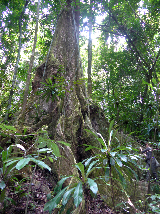
The objective is to quantify and map the carbon contained in tropical forests, with a resolution of 50 to 100 meters. This should make it possible to study the evolution of carbon over time and the loss of carbon dioxide absorption generated by deforestation and forest degradation. It will also be able to visualize the trunks through the canopy, where most of the biomass is stored, and to carry out “topographical” mapping of the habitat and soils, where part of the biodiversity is located.
Finally, Biomass will provide a 3D map of forests.
Executive Comments
Bjoern Frommknecht, Data Ground Segment Manager at ESA, said, “Biomass is our seventh Earth explorer mission within our Living Planet program. The ESA MAAP was initiated in 2017 in that framework, acting as pilot for how a future ground segment dedicated to scientific data exploration could look. It is one of our commitments to improve our knowledge of our planet, which is being impacted by climate change. So, we need accurate satellite data that will be used for many societal applications to protect and preserve our environment. Driven by a culture of excellence, we knew we could rely on Capgemini to support us to create and provide a platform that meets the specific needs of the scientific community.”
Nicolas Chanteloup, Head of the Manufacturing, Automotive, Aerospace and Health sector at Capgemini in France, noted, “The MAAP development is based first and foremost on our business expertise in the processing and interpretation of radar imagery. It also illustrates our experience in the development of cutting-edge technologies, and the processing and analysis of very large volumes of data. The result is the creation of a particularly reliable and fully interoperable platform. At the end of a 30-month development phase, we are proud to be part of this exciting project and thrilled to help enable this successful collaboration between ESA and NASA on such a crucial initiative – to improve our understanding on climate related issues.”
