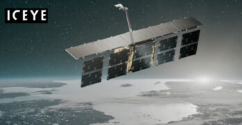
ICEYE, a global leader in synthetic aperture radar (SAR) satellite operations for EO, persistent monitoring, and natural catastrophe solutions, has signed a definitive agreement for an oversubscribed $93 million growth […]
SAR
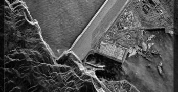
Umbra unveils bistatic SAR data from the firm’s tandem pair of smallsats
Umbra has announced the forthcoming release of imagery from the firm’s tandem pair of Synthetic Aperture Radar (SAR) smallsats. Umbra is set to provide customers with bistatic SAR data later […]
Thales Alenia Space to develop the radar instrument for ESA’s 10th Earth Explorer Harmony satellites mission
Thales Alenia Space, a Joint Venture between Thales (67%) and Leonardo (33%), signed a first 7M€ contract with the European Space Agency (ESA) to develop the Earth Observation Synthetic Aperture […]
Airbus rolls out OneAtlas update
Airbus’ OneAtlas Radar Tasking & Archive service now includes Quicklook imagery of the entire Radar data archive. With this brand-new functionality, you will be able to even better browse and select suitable imagery […]
Synspective’s founder and CEO comments on StriX-3 SAR satellite reaching target orbit
Commentary from Synspective Inc., a SAR satellite data and solutions provider, announces that StriX-3, its fourth SAR satellite, has successfully been put into its target orbit and spread its wings. […]
ICEYE’s SAR constellation strengthened with their latest launch
ICEYE launched three additional synthetic aperture radar (SAR) satellites on March 4, 2024, including a 1200 MHz radar bandwidth on-orbit technology demonstrator that will enable 25 cm imaging. The satellites […]
Nova Systems selects SKYTRAC’s Iridium Certus® for Coast Guard programs
SKYTRAC Systems Ltd (SKYTRAC), a global leader in satellite communications (satcom) and intelligent connectivity solutions, today announced that it was chosen by Nova Systems, a leading provider of engineering services […]
Synspective + Dynamic Map Platform selected for Enterprise Innovation Promotion Program
Synspective Inc. (Synspective) and Dynamic Map Platform Co., Ltd. (Dynamic Map Platform) have been selected by the Japanese Ministry of Land, Infrastructure, Transport and Tourism for the Small and Medium […]
RaCERS project to boost map-making and environmental monitoring
A University of Birmingham, UK, researcher is working on a space project that will bring map-making, environmental monitoring and natural hazard forecasting to a new level. The Radar Cluster for […]
NOAA satellites helped save 350 lives in 2023
NOAA’s satellites, known for their pivotal role in tracking weather and climate, were behind the rescue of 350 people from harrowing, life-threatening ordeals in the U.S. and its surrounding waters […]

