
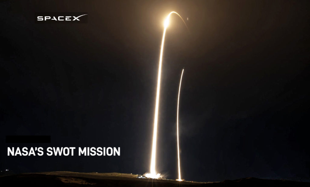
On Friday, December 16, at 3:46 a.m., PT, SpaceX launched NASA’s Surface Water and Ocean Topography (SWOT) mission to LEO from Space Launch Complex 4E (SLC-4E) at Vandenberg Space Force Base.
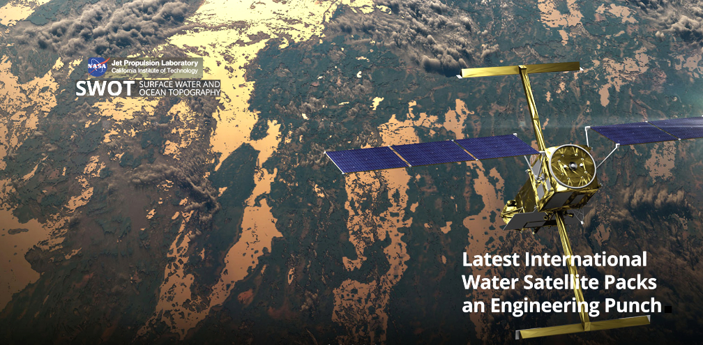
SWOT is an internationally developed mission to conduct the first global survey of Earth’s surface water. This satellite aims to provide a new understanding of the ocean’s role in climate change and improve the data humanity relies upon for fresh water management.
This was the sixth launch and landing of this Falcon 9 first stage booster, which previously launched NROL-87, NROL-85, SARah-1, and two Starlink missions.
To learn more about NASA’s science missions, visit science.nasa.gov.
Update 1 posting…
NASA, the French space agency Centre National d’Études Spatiales, and SpaceX now are targeting 3:46 a.m. PST on Friday, December 16th, for launch of the Surface Water and Ocean Topography (SWOT) mission.
After SpaceX’s Falcon 9 rocket went vertical on the pad at Space Launch Complex 4 East (SLC-4E) at Vandenberg Space Force Base in California, teams identified moisture in two Merlin engines on the rocket’s first stage booster. Teams completed inspections of the rocket’s engines today, but will use the additional time to complete data reviews and analysis before a launch attempt.
The first stage booster supporting this mission previously launched NROL-87, NROL-85, SARah-1, and two Starlink missions. Following stage separation, the first stage will land on Landing Zone 4 (LZ-4) at Vandenberg Space Force Base.
The SWOT satellite is healthy and the weather forecast remains favorable for liftoff on Friday morning.
SWOT is an internationally developed mission to conduct the first global survey of Earth’s surface water and aims to provide a new understanding of the ocean’s role in climate change and improve the data humanity relies upon for fresh water management. To learn more about NASA’s science missions, access this direct link…
Live launch coverage will be provided by NASA. Tune in to NASA.gov/live to watch the live broadcast, starting at 3:00 a.m. PT on Friday, December 16th.

Original posting…
NASA’s upcoming SWOT (Surface Water and Ocean Topography) mission will survey nearly all water on Earth’s surface for the first time, measuring the height of the world’s oceans, rivers, and lakes, helping scientists track how fresh and saltwater bodies change over time.
This launch event is scheduled to occur on Thursday, December 15th, from Vandenberg SFB via a SpaceX Falcon 9 rocket.
The satellite will help scientists investigate how the oceans absorb atmospheric heat and carbon, moderating global temperatures and climate change.
Using SWOT’s state-of the-art technology, scientists will observe ocean features with 10 times the resolution of current technologies, along with providing high-definition views of freshwater bodies.
SWOT can observe the entire length of nearly all rivers wider than 330 feet (100 meters), as well as collect data on more than a million lakes larger than 15 acres (62,500 square meters).
A global inventory of water resources will help scientists better understand where the water is, where it’s coming from and where it’s going. The observations will benefit people on Earth by helping improve flood forecasts, improving the models used to monitor droughts and improving predictions for sea level rise.
The observations also will benefit industries, like shipping, by providing measurements of water levels along rivers, as well as information about tides, currents, and storm surges in the ocean.
The mission is a collaborative effort by NASA and the French space agency Centre National d’Etudes Spatiales (CNES) with contributions from the Canadian Space Agency (CSA) and the UK Space Agency.