
Thanks to the imagery collection resources of Maxar, views of the destructive Caldor wildfire as the conflagration approaches the southern edge of Lake Tahoe along the California-Nevada border reveal the horrific conditions that are being faced by firefighters and citizens in that area of the U.S.
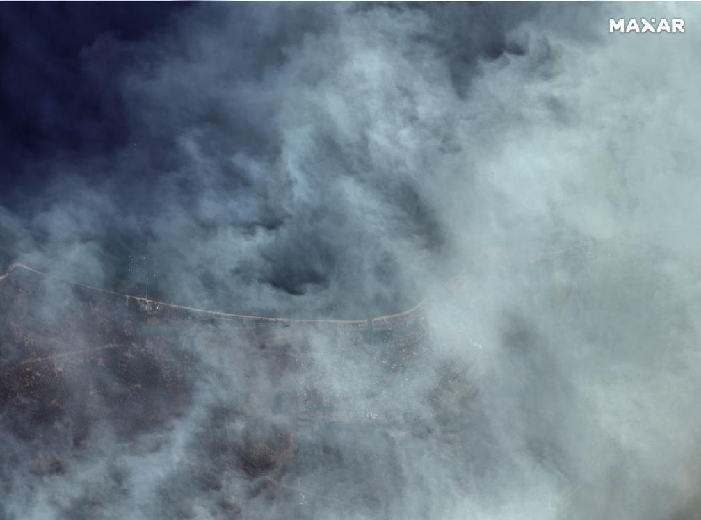
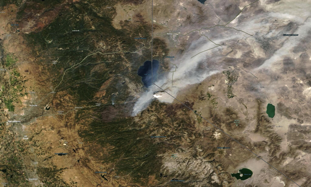
On August 31st, Maxar’s collection offers closer views of South Lake Tahoe, the active fire lines and a large pyrocumulus cloud formed by the intense fire. Additionally, a couple of broader views were collected by NASA’s Modis sensor (Images 01 and 02) that help show the amount of smoke drifting to the east of the fire.
Finally, several of the images include Maxar’s color infrared imagery. As a reminder, with color infrared imagery, burned forests/vegetation appear in shades of black/grey while unburned areas appear in shades of red/pink,
• Note: Satellite imagery ©2021 Maxar Technologies