
UP42 has announced that global ship tracking data from exactEarth Ltd. is now offered on the UP42 developer platform and marketplace for Earth Observation (EO) data and analytics.
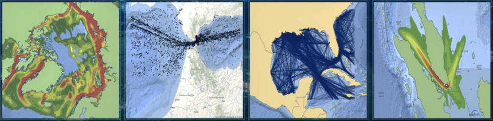
The exactEarth partnership enables UP42 users to build powerful maritime applications incorporating near real-time and historical vessel Automatic Identification System (AIS) track and position information.
UP42 gives users direct access to extensive EO data sets and advanced processing algorithms – along with cloud computing power – to create their own geospatial solutions easily and inexpensively. Users purchase just the data needed to cover their area of interest and then leverage scalable processing capabilities to analyze the data sets without investment in their own computing infrastructure.
The addition of exactEarth data to the UP42 marketplace dramatically expands the ability to build sophisticated maritime applications on the open platform by combining the AIS data with other geospatial information.
Based in Cambridge, Ontario, Canada, exactEarth is a leading provider of global vessel tracking and monitoring information derived from AIS signals transmitted by ships at sea and received by orbiting satellites. exactEarth AIS data sets include real-time commercial passenger and cargo vessel locations, headings, routes, destinations, and arrival times, as well as historical archives of this information dating back a decade.
The exactEarth constellation of microsatellites and advanced signal processing technologies deliver maritime domain awareness solutions that are global in scope, yet positionally accurate. exactEarth algorithms analyze AIS signals to pinpoint individual vessel locations even in crowded shipping lanes and ports. These data sets are relied on by government agencies and commercial organizations for applications related to vessel monitoring, piracy and smuggling events, environmental preservation, and search & rescue.
exactEarth AIS data sets join a rich variety of Earth observation information on the UP42 marketplace, including Pleiades 1A/B, SPOT 6/7, Landsat-8, Sentinel-2 and MODIS satellite imagery, Getmapping aerial data, and Meteomatics weather and ocean data. UP42 users may currently apply more than 50 geospatial analytics processes, including machine learning algorithms, to automatically find features, count objects, detect change, uncover patterns, classify land use, and derive vegetative indices from the data sets.
The UP42 analytics platform and Earth observation marketplace can be used to develop real- world solutions in agriculture, forestry, transportation logistics, energy, insurance, mineral exploration, land management and other industries worldwide.
Executive Comments

“We created UP42 to democratize access to Earth observation data so that anyone can extract valuable insights to solve global or local challenges,” said UP42 CEO Sean Wiid. “The UP42 platform provides our users all the tools they need to develop geospatial workflows, applications and even commercial products.”

“The UP42 platform is a tremendous resource for global data users and application developers”, said Peter Mabson, exactEarth CEO. “Now UP42 users will be able to benefit from exactEarth’s industry-leading exactViewRT™ global real-time satellite AIS data and AIS data archive and use them together with other leading EO data sources to create advanced maritime applications and analytics. We are very excited to be joining the UP42 family. UP42 users will integrate exactEarth data with other data sources, like satellite and weather, to create entirely new maritime solutions ranging from ship detection and identification to port monitoring or vessel route optimization, and more.